Landscape Change Monitoring System (LCMS) is a remote sensing-based system for mapping and monitoring landscape change across the United States.
LCMS is produced by the USDA Forest Service Field Services and
Innovation Center — Geospatial Office (FSIC-GO).
Tree Canopy Cover (TCC) is produced by the USDA Forest Service FSIC-GO and USDA Forest Service and Research and Development — Forest Inventory and Analysis (FIA).
30m data layers of:
- Cause of vegetation cover Change (LCMS)
- Land Cover (LCMS)
- Land Use (LCMS)
- Tree Canopy Cover (TCC)
Annually 1985 to 2025
Study Areas:
- Conterminous U.S. (CONUS)
- Alaska (AK) (*Southeastern Alaska only for TCC)
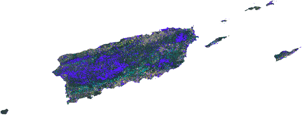
- Puerto Rico and U.S. Virgin Islands (PRUSVI)
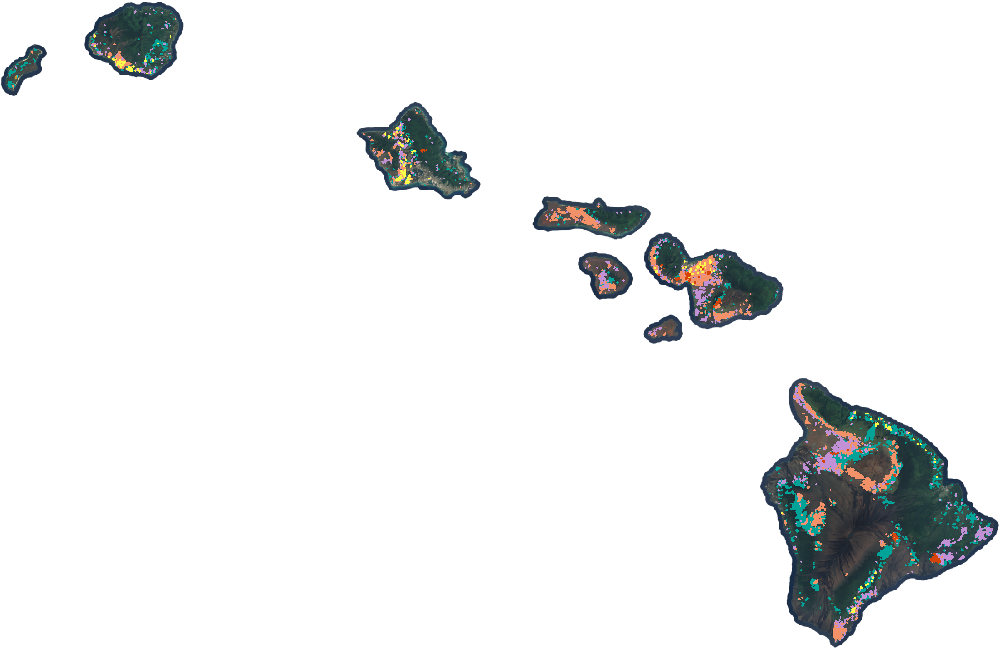
- Hawaii (HI)
Alaska

Puerto Rico and U.S. Virgin Islands
Hawaii
Conterminous U.S.

- Wind
- Hurricane
- Snow or Ice Transition
- Desiccation
- Inundation
- Prescribed Fire
- Wildfire
- Mechanical Land Transformation
- Tree Removal
- Defoliation
- Southern Pine Beetle
- Insect, Disease, or Drought Stress
- Other Loss
- Vegetation Successional Growth
DATA DESCRIPTIONS
Change
Monitor annual vegetation cover changes caused by short and long-duration disturbance events, as well as water desiccation or inundation and snow/ice transition.
- Wind
- Hurricane
- Snow or Ice Transition
- Desiccation
- Inundation
- Prescribed Fire
- Wildfire
- Mechanical Land Transformation
- Tree Removal
- Defoliation
- Southern Pine Beetle
- Insect, Disease, or Drought Stress
- Other Loss
- Vegetation Successional Growth
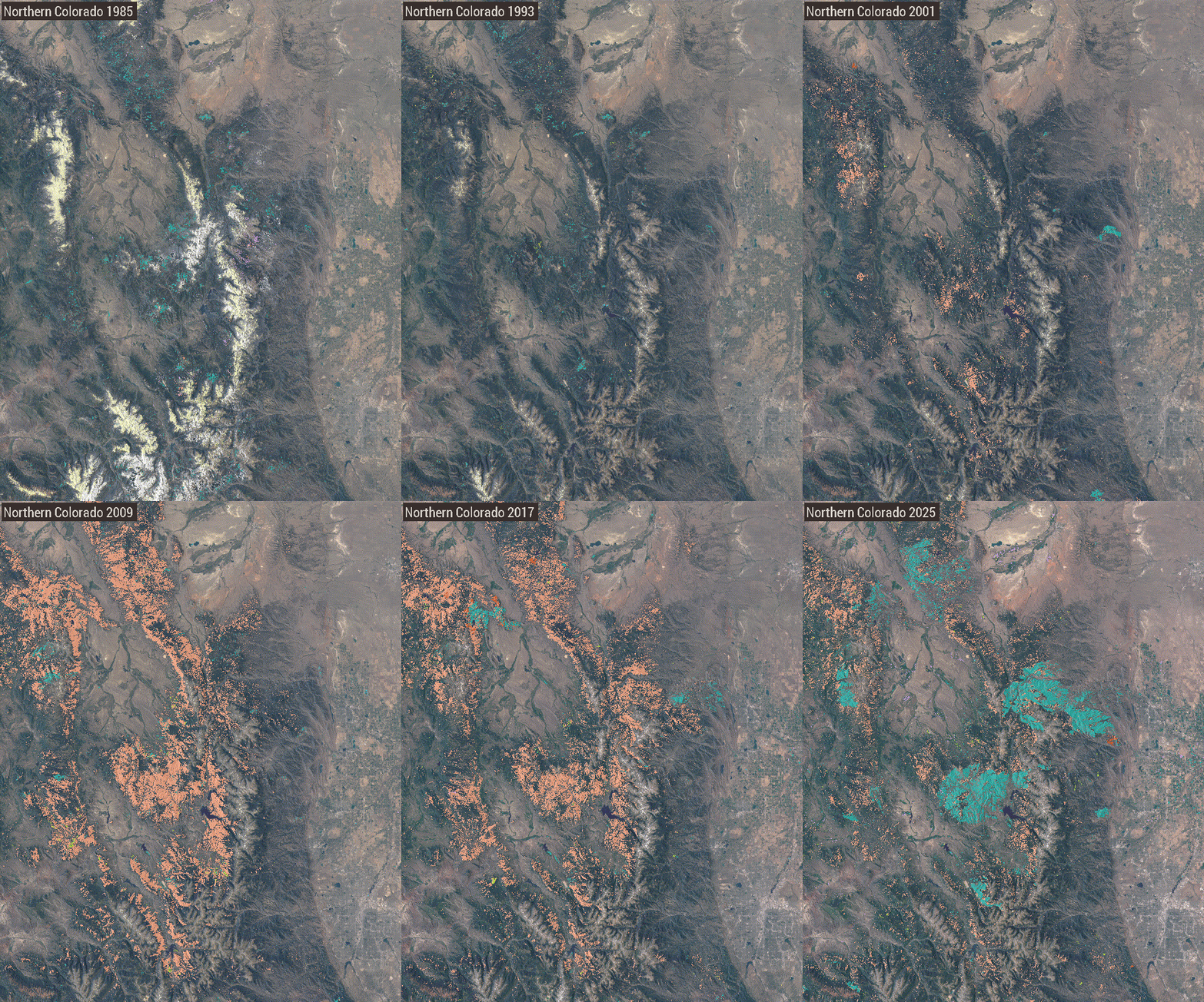
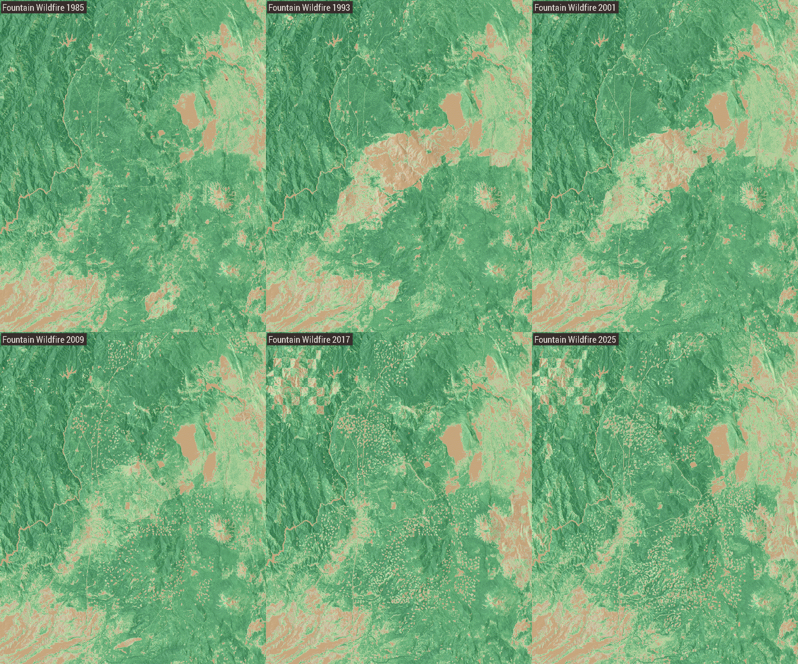
Changes from insects, disease, and wildfire, Colo.
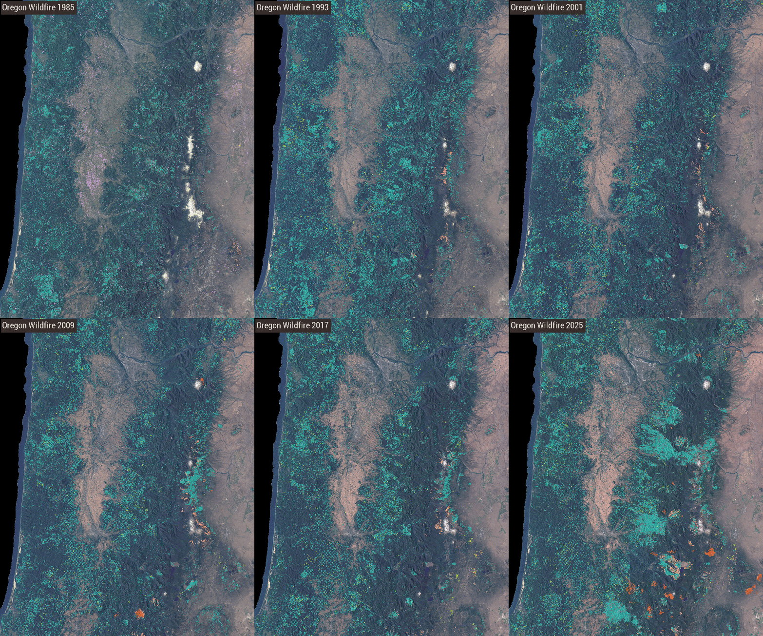
Vegetation change largely caused by timber harvest and wildfire in the Willamette National Forest, Oreg.
Land Cover
Monitor annual changes to types of surface components of the land that are present and visible including vegetation and other biophysical attributes of the land surface.


- Tree
- Tall Shrub & Tree Mix (AK Only)
- Shrub & Tree Mix
- Grass/Forb/Herb & Tree Mix
- Barren & Tree Mix
- Tall Shrub (AK Only)
- Shrub
- Grass/Forb/Herb & Shrub Mix
- Barren & Shrub Mix
- Grass/Forb/Herb
- Barren & Grass/Forb/Herb Mix
- Barren or Impervious
- Snow or Ice
- Water

Change in Lake Mead water level, Nev. caused by water consumption & decadal drought

Change in extent of the Columbia Glacier, Alaska
Land Use
Monitor annual changes in the intended human use of the land, which represents economic and cultural activities practiced at a given place.

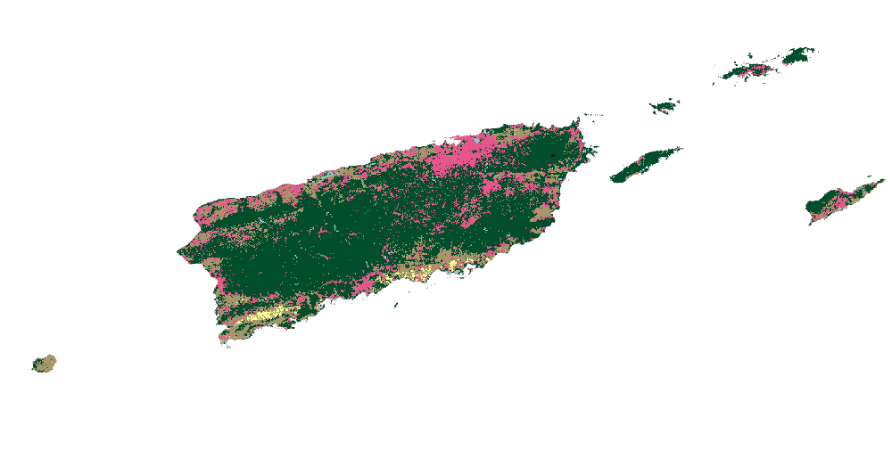
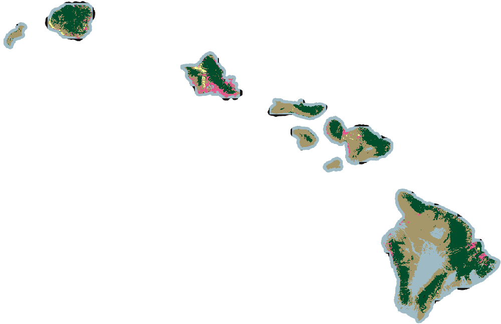
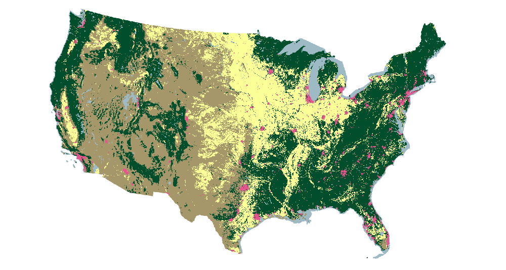
- Agriculture
- Developed
- Forest
- Other
- Rangeland
For additional information about LCMS change, land cover, or land use classes see the LCMS methods document.
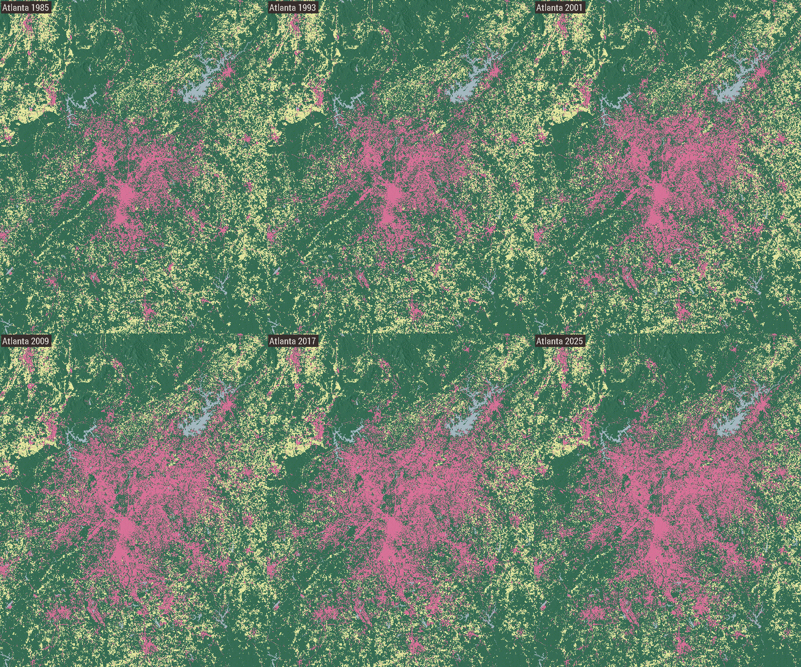
Urban development of Atlanta, Ga.

Urban development of Las Vegas, Nev.
Tree Canopy Cover
Monitor annual tree canopy cover (TCC) that is the percent of ground covered by tree material (leaves, needles, branches).

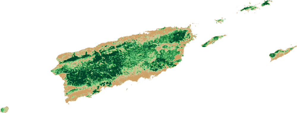
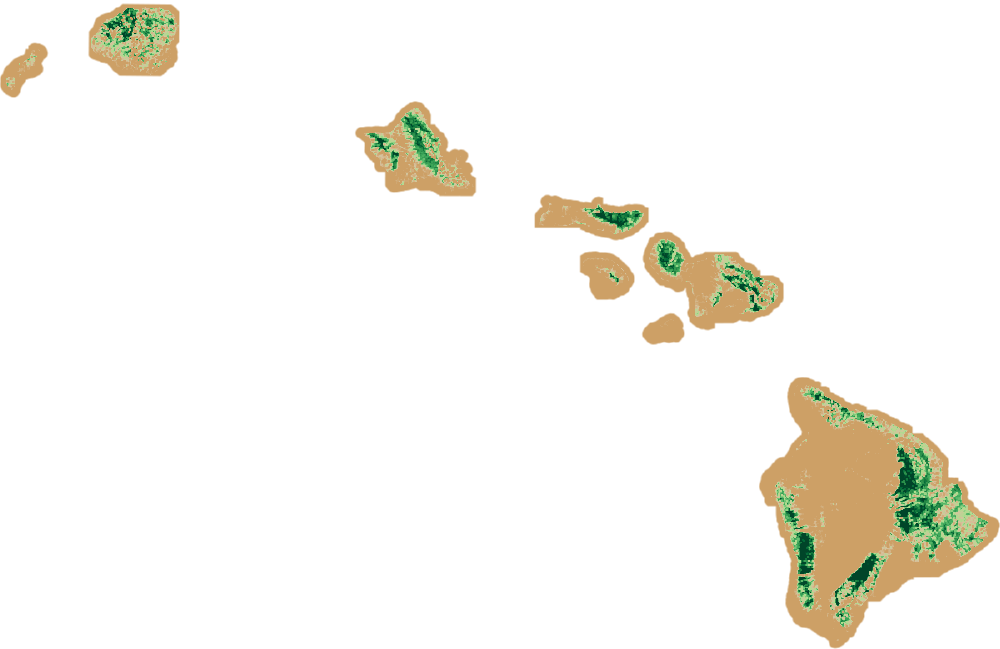
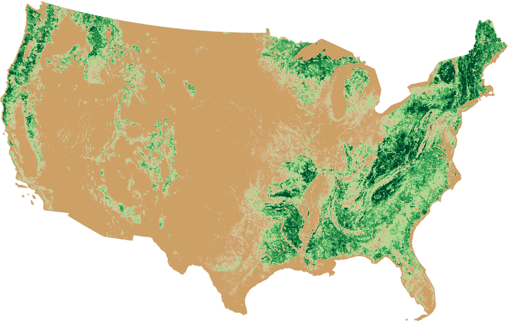
For additional information about TCC, see the TCC methods document.
TCC in northern California

TCC in northern Georgia
EXPLORE DATA
Several web mapping applications are available to explore, summarize, and produce reports of how our landscape is changing.
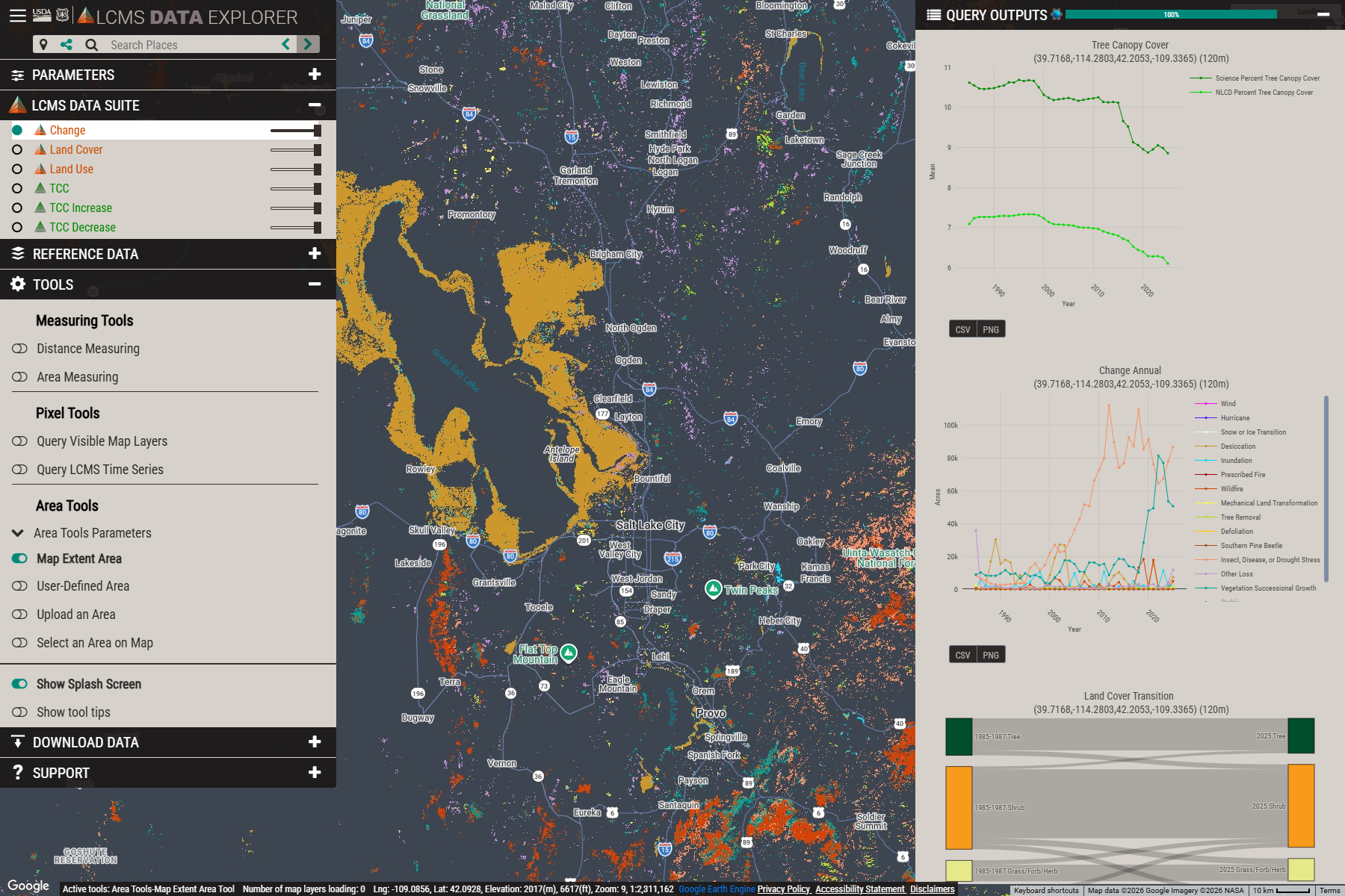
The LCMS Data Explorer is designed to make LCMS and TCC data accessible and actionable for a wide range of users, from land managers and scientists to the general public. Users can:
- Zoom and pan across the United States to view landscape change at national, regional, or local scales.
- Select specific years to visualize annual changes in vegetation cover, land cover, land use, and tree canopy cover.
- Overlay multiple LCMS and TCC data products to compare trends and patterns over time.
- Generate summary statistics and charts for areas of interest.
- Download data for further analysis or reporting.
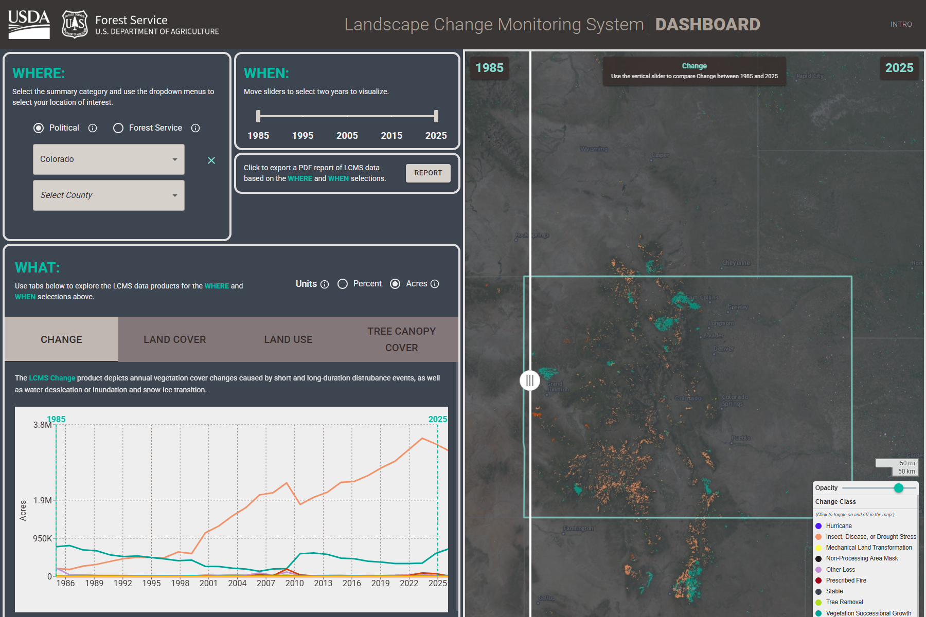
The LCMS Dashboard is designed to provide the ability to quickly summarize and generate reports of how our landscapes are changing. Users can:
- Select a summary area by selecting State/County or choose the Forest Service hierarchy to browse through Forest Service Regions, Forests, and Ranger Districts
- Define the analysis years using the year slider.
- Browse the LCMS products available in the Tabs. The three LCMS products are Vegetation Change, Land Cover , and Land Use. The selected LCMS product will be visible on the map with a change slider to compare the first and last year selected.
- TCC products are included
- Export a pdf report
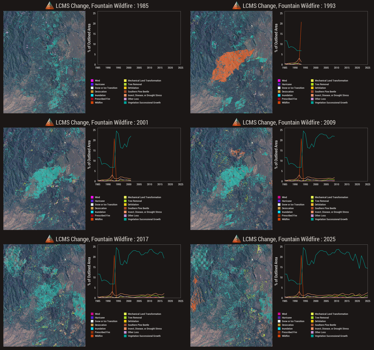
The LCMS Base Learner Explorer allows users to view raw input data, compare temporal segmentation results, visualize synthetic composite time-lapses, and download base learner and segmentation data. It is intended for researchers and analysts interested in the underlying data used to create LCMS model outputs.
LCMS In-Motion provides interactive time-lapse animations for exploring yearly changes in LCMS land cover, land use, and change classes, with options to export animations for presentations or reports.
DATA ACCESS
Click on the folders to download annual LCMS and TCC data:
 LCMS v2025-11 in Google Earth Engine (GEE) Publisher's Catalog
 LCMS Interdepartmental Imagery Publication Platform (IIPP)
ABOUT THE DATASETS
About LCMS
Knowing where, when, and what factors create change across landscapes is critical to making sound land management decisions. To support land managers and scientists with this need, an interagency effort between leading remote sensing scientists and application specialists in the U.S. Department of Agriculture Forest Service, U.S. Geological Survey, NASA, and numerous universities have collaborated to develop and produce a Landscape Change Monitoring System (LCMS).
LCMS is a remote sensing-based system for mapping and monitoring landscape change across the United States. LCMS provides a “best available” map of landscape change that leverages advances in time series-based change detection techniques, Landsat and Sentinel data availability, cloud-based computing power, and big data analysis methods.
The LCMS Science Team initially developed LCMS methods (Cohen et al., 2018; Healey et al., 2018). The LCMS Production Team and Science Team review methods frequently to ensure the LCMS mapping process is based on the best available science. All LCMS map products are recreated annually from 1985 to the most recent full growing season. LCMS mapping areas include all the United States and its territories. The current operational set of outputs covers the conterminous United States (CONUS), Alaska (AK), Puerto Rico and U.S. Virgin Islands (PRUSVI), and Hawaii (HI).
LCMS Citations
-
Literature
Dataset
LCMS Methods
LCMS Levels Guidance
Related LCMS Literature
About TCC
The Tree Canopy Cover (TCC) data products are developed and maintained by the USDA Forest Service through integrated teams and support from the Geospatial Office and Research and Development - Forest Inventory and Analysis. Because the TCC datasets cover all USA lands including federal, state, and private lands, multiple divisions of the Forest Service contribute funding supporting the development and production of the datasets. These divisions include the National Forest Systems, State and Private Forestry, and Research and Development. The TCC datasets are Landsat and Sentinel-2 based with a spatial resolution of 30 meters. TCC data support a variety of work including timber management, urban forestry, and forest monitoring.
TCC mapping areas include all the United States and its territories. The current operational set of outputs covers the conterminous United States (CONUS), Southeastern Alaska (SEAK), Puerto Rico and U.S. Virgin Islands (PRUSVI), and Hawaii (HI).
TCC Citations
-
Literature
Dataset
TCC Methods
Related TCC Literature

Feedback
We welcome your feedback. If you would be willing to take our short user survey, the provided information will help inform future improvements and additional functionalities. Thank you.